Monday, September 17, 2007

Community maintained geotags in a WWJ applet

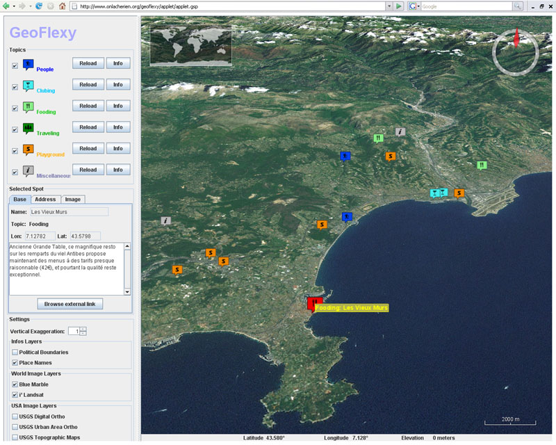
And again a new World Wind Java applet is online. GeoFlexy is a web site that lets you add community shared geographic tags and view them over a 2D Google Map or a 3D WWJ applet.

The 'spots' can be added by navigating a map and filling a form with description, address, Zip code and other informations, including one picture and a link to a web site.

Developed by turman a forum contributor, the site as of now is more an experiment than a fully operational community portal, but it is the most interesting WWJ applet usage i've seen so far.
Thursday, August 30, 2007

Italian Alps at 1m in a WWJ applet

Andrea Caporin from GIS Solution recently posted a link to a WWJ applet showing a 1m resolution image set near Bressanone in the italian Alps - just north of Venice. It is nice to see WWJ with some higher resolution imagery in such mountainous areas.


I wouldnt think this particular image set is public domain though...

WWJ forum thread...

Saturday, July 28, 2007

Picking at objects in WWJ

I recently added 'picking' support to the WorldMapLayer - so you can 'click-and-fly' to any place, and had a bit of head scratching and code reading to figure out the picking process. I thought it would be usefull to write it down, so here are my notes on picking in WWJ.


WWJ is using a 'unique color' rendering scheme - where the world is rendered with unique colors for each object, but we never get to see it. So i also thought it would be nice to have a quick look, and there it is : the frame buffer at the end of the pick process on terrain.


And here we see picking at the globe in the AWT1Up demo. The rectangle at top left is the world map selection area.

Note that only the terrain geometry sector under the mouse cursor is rendered with unique colors for each of its faces.

The above images have been processed to bring out the uniqueness of the colors. The real frame buffer is less explicit, with continuous shades of blue most of the time.

To see it for yourself, in BasicSceneController, comment out the last two steps of the doRepaint() method - clearFrame and draw, run, take a screenshot, convert it to 256 indexed colors with an adaptive palette, then change the palette to Mac or Windows system.

The world map layer with pick support is to come with the next release of the SDK. Some major refactoring have taken place and posting the code here would probably be confusing with the current version. Sorry for the delay.

Sunday, July 22, 2007

Adding a touch of fog to WWJ

Here is a simple fog effect layer for WWJ. It will adjust the fog near and far distance according to the current view altitude. The screenshot shows the Segara Anak caldera and Mount Rinjani (3726m), Indonesia, looking east.


Download FogLayer.java and add it to the worldwinddemo package - after removing the .txt extension. In BasicDemo, insert the layer just before the blue marble, and after the stars and the sky if you have them.

The default fog settings also produces a light atmospheric 'inside' halo around the planet.

Wednesday, July 4, 2007

Adding a blue sky background to WWJ

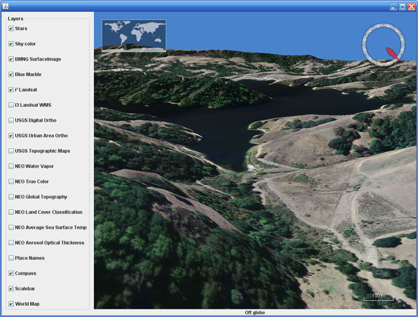
Here is a very simple sky background color layer for WWJ. It paints a blue background when the 'camera' goes inside the atmosphere, with a smooth fading effect between the stars and the sky.


Download SkyColorLayer.java and add it to the layers.Earth package of the SDK - after removing the .txt extension. In the layer list, add the new layer before blue marble and after the stars if you have them.

This layer along with better versions of the stars, scalebar and worldmap will be included in the next version 0.3 of the SDK - that should be out very soon. Hopefully, i will come up with a more sophisticated sky/atmosphere before long - update sept 27: see the SkyGradientLayer.

Wednesday, June 27, 2007

First World Wind Java Applet and integration

While i was deep into details of the WWJ code, some very interesting things happened from several european users : the first WWJ applet from Toulouse, France and a very nice integration into blueMarine, an open source photo workflow application from Milano, Italy (not very far apart...).

First World Wind Java Applet

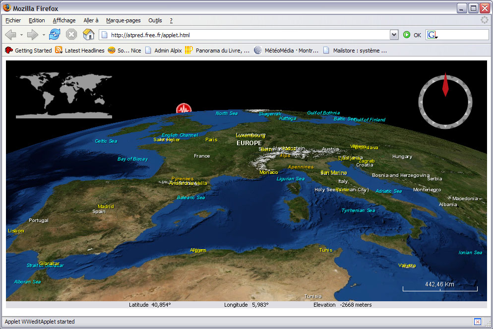
Stéphane Maldini (aka pred) and Nicolas Castel (aka vash), two WWJ forum contributors, have made steady progress at bringing WWJ into a browser and recently posted a link to this WWJ applet page.


Beware that it can take a little while to load (probably 5 to 10 MB) and it may ask you some unexpected questions about your Java configuration. I'm not sure it flowlessly works across platforms yet.

This demo includes a GeoRSS stream reader that displays recent earthquakes icons with actives links to the appropriate web pages. According to pred, this applet is part of an online GeoRSS editor project... More screenshots on Chad's The Earth Is Square blog.

WWJ integration into blueMarine

Since the may release of WWJ, Fabrizio Giudici, one of the author of blueMarine, has been very active at embedding it into his application to offer a 3D perspective on geo-referenced photo sessions.


The result is quite beautiful. Well done Fabrizio!

Fête de la Saint-Jean 2007 sur Waverly

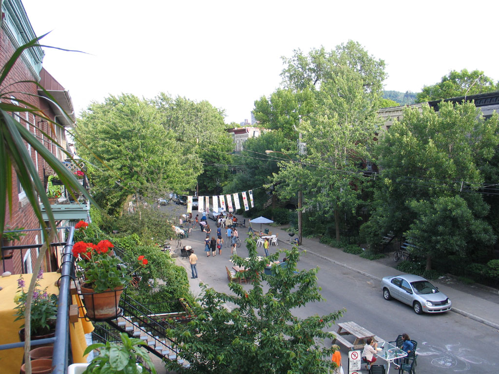
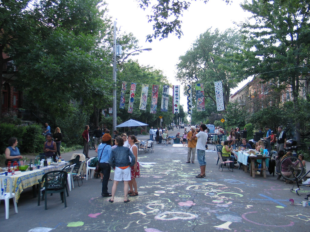
Encore une magnifique journée - et soirée, de la Saint-Jean cette année. Le 'comité' de la rue Waverly (entre Fairmount et Saint-Viateur) a encore une fois obtenu de la ville de Montréal l'usage exclusivement piéton de notre bout de rue pendant douze heures (faut pas exagerer non plus).


Tables à picnique, sofas et mobilier de salon ont ainsi pris possession de l'asphalte dimanche dernier pour le plus grand bonheur des riverains et de leurs enfants.

La journée s'est terminée sur les rythmes latins du 'band' invité pour l'occasion, ainsi que des percussions brésiliennes de notre fanfare locale.


Désolé, les photos ne font pas justice à l'ambiance de la fin de journée ou beaucoups de monde dansait au milieu de la rue ;)

Sunday, June 17, 2007

Réflexions sur le Lac Castor

Un magnifique camping 'à la canadienne' avec un superbe lac entourés de collines et de forêts. Tente ou petit bungalow, baignade, canoë et feu de camp le soir...


Aux berges du Lac Castor, à une heure et demi de Montréal.

Friday, June 15, 2007

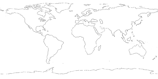
Adding a simple world map overlay to WWJ

Here is a simple 'You are here' world map overlay layer for WWJ. It displays a crosshair over the current view location and behaves like the Compass layer.


Download Earth_Map.png in your SDK bin/images (where the compass bitmap is), then add WorldMapLayer.java to the worldwinddemo package or your application - remove the .txt extension first.

Once done, add this layer to WWJ in the same way as the compass layer.

Thursday, June 14, 2007

Nice vue depuis la navette spatiale

Le Gateway to Astronaut Photography of Earth a deux nouvelles photographies de Nice et de la Baie des Anges, prises le 26 février 2007 à 341 Km d'altitude.


> Nice et la Baie de Anges
> Nice et le Cap Ferrat