OpenStreetMap layer for WorldWind Java
WWJ forum user linnuxxy asked whether OpenStreetMap data could be displayed in WWJ to which m_k provided quite a few useful pointers. This layer will access the 'osm-4326-hybrid' WMS layer from hypercube.telascience.org. Although it is not quite up to date, it renders nicely over the WorldWind terrain.

Download OpenStreetMapWMSLayer.java - remove the .txt extension and add to the SDK layers.Earth package.
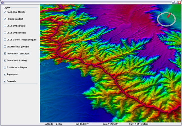
You may want to try the 'osm-4326' too - same thing on a white background (with additional shading below):
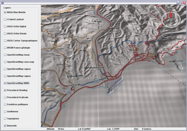
The hybrid layer blends perfectly into the BRGM geology layer too - with shading:

See this WWJ Forum thread for more info and discussion.
Download OpenStreetMapWMSLayer.java - remove the .txt extension and add to the SDK layers.Earth package.
You may want to try the 'osm-4326' too - same thing on a white background (with additional shading below):
The hybrid layer blends perfectly into the BRGM geology layer too - with shading:
See this WWJ Forum thread for more info and discussion.