French Geoportal's layers published using NASA World Wind
Nice surprise today, the French Geoportail is publishing it's layers content via a new World Wind Java application available online.
Some screenshots:
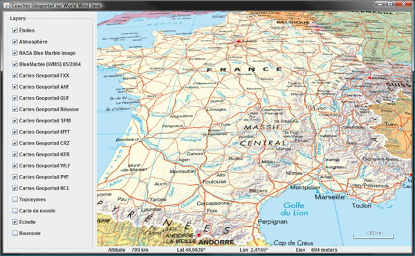 France map
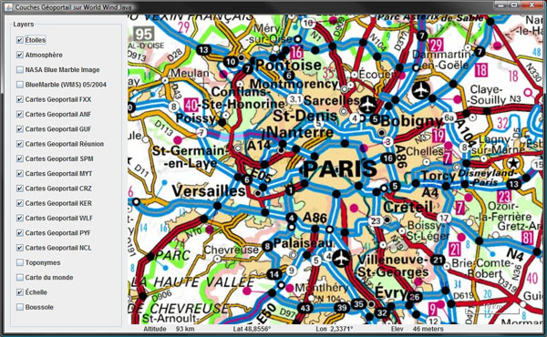 Paris area
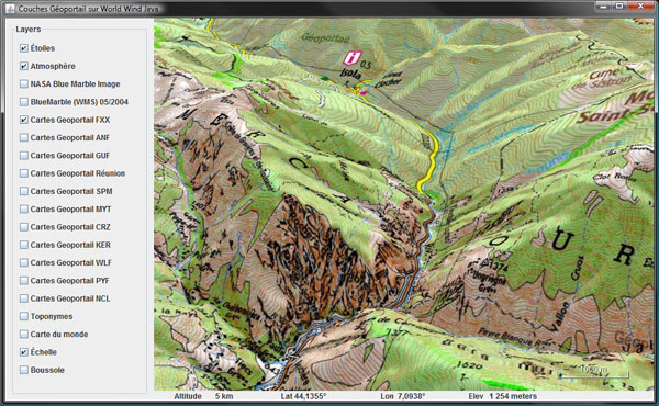 Topo maps over Mercantour National Park
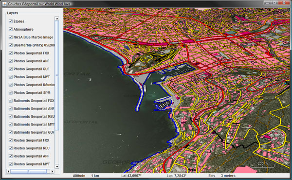 Roads, shoreline and buildings over aerial imagery
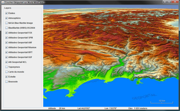 Colored DTMs - French Riviera and the Alps
I was secretly hopping this to happen and i'm very pleased to see the move has taken place so soon. However, it is still unclear whether the actual Geoportail 3D client using Skyline TerraExplorer will be replaced with a Java version using WWJ...
Some screenshots:
France mapParis areaTopo maps over Mercantour National ParkRoads, shoreline and buildings over aerial imageryColored DTMs - French Riviera and the AlpsI was secretly hopping this to happen and i'm very pleased to see the move has taken place so soon. However, it is still unclear whether the actual Geoportail 3D client using Skyline TerraExplorer will be replaced with a Java version using WWJ...

